
DAKAR
Contributing agency

Station summary


Links to data sources

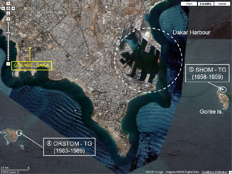
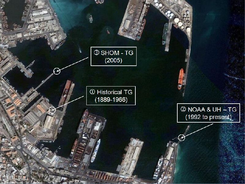
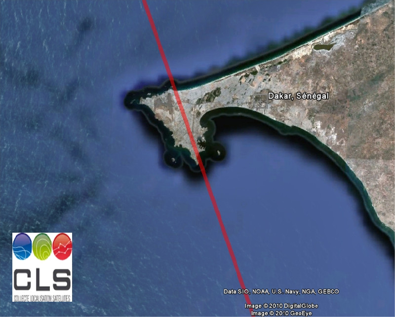
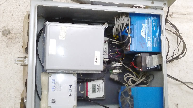
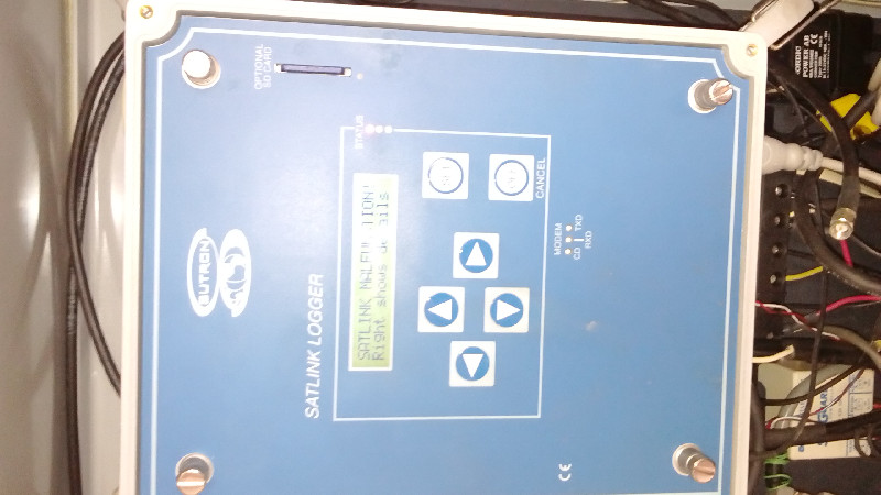
Co-located instrumentsDAKAR
Leveling & DatumsDAKAR
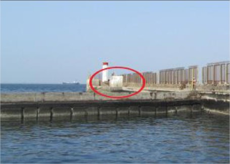
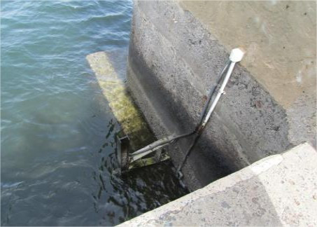
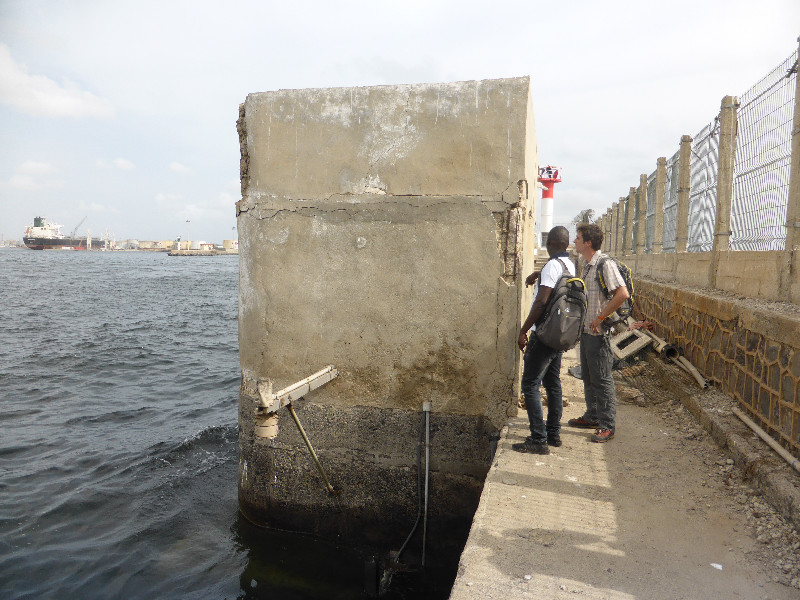
Photo albumDAKAR
BibliographyDAKAR
If you have a relevant reference to suggest, please send-us an e-mail : sonel@sonel.org-
 Le Cozannet, Raucoules et al., 2015. Vertical ground motion and historical sea-level records in Dakar(Senegal). Environmental Research Letters.

-
Poyard, 2011. Rattachement métrologique du marégraphe à la station GNSS permanente, Dakar, Sénégal.
-
Woodworth, Aman et al., 2007. Sea level monitoring in Africa. African Journal of Marine Science.


