
VENEZIA
Station summaryVENE


| IGS-type acronym : | VENE00ITA |
| Latitude : | 45.43698192 |
| Longitude : | 12.33198379 |
| Installed date : | 1995-03-23 |
| Decommissioned date : | 2007-07-30 |
| Country : | ITALY |
| City: | VENEZIA |
| Station status : | Decommissioned (white and red cross) |
| Distance to Tide Gauge (m) : | 741 |
| Domes Nr.: | 12741M001 |
| Station operator: | Unknown |
| IGS-like station form : |
GPS position times seriesVENE
Position
(Reference epoch: )
(Reference epoch: )
Offsets (mm)
| M | Material change or malfunction |
| E | Earthquake |
| RF | Reference Frame change |
| U | Unknown |
| NA | Not available |
| Position discontinuity | |
| Velocity discontinuity |
Data available at SONELVENE
Quality plots on RINEX filesVENE
 |
 |
Plots generated using software developed with the EPN team at ROB |
| Observations & tracking performance | Satellite tracking |
 (this operation may take 20 to 45s)
The satellite tracking graph has been calculated for all stations for the first day of each month. If you wish to have a graph for another date, choose the 'Calculate a specific date' option.
Co-located instrumentsVENE
- Tide gauge : VENEZIA II (VENTG)
- GPS : VENEZIA 1 (VEN1)
- Tide gauge : VENEZIA (PUNTA DELLA SALUTE) (PDSTG)
- Tide gauge : VENEZIA (S.STEFANO) (VENSS)
- Tide gauge : VENEZIA (ARSENALE) (VENAR)
- GPS : VENEZIA - Arsenale (VEAR)
- GPS : Venezia Nicelli (VENI)
- GPS : Venezia Punta Salute (PSAL)
- Tide gauge : LIDO DIGA SUD (LDSTG)
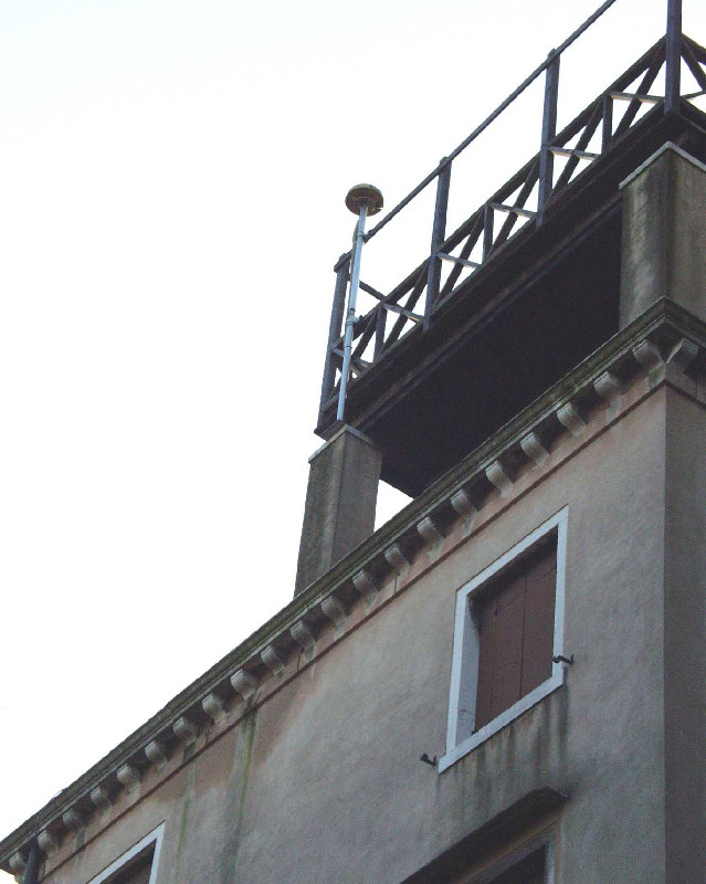
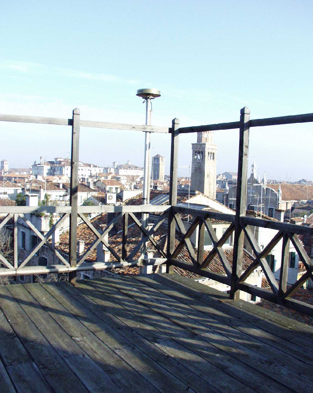
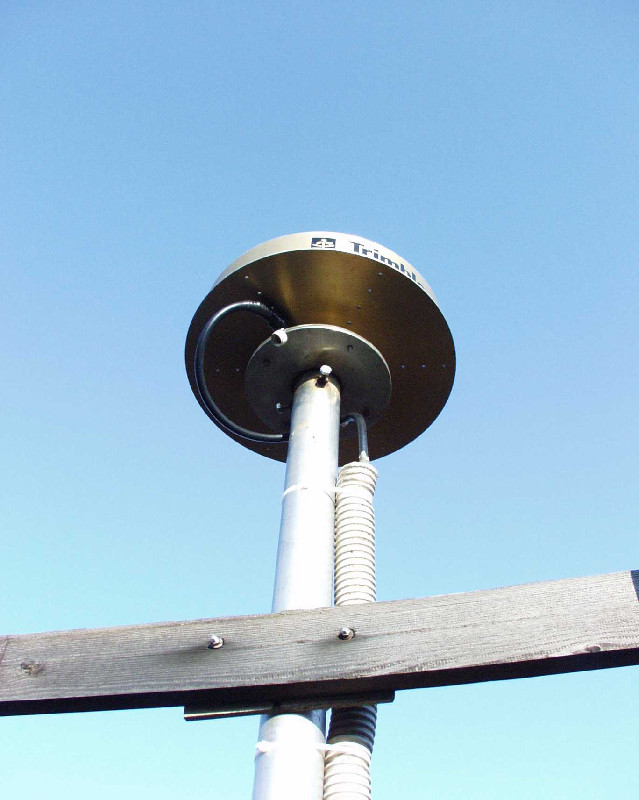
Photo albumVENE
BibliographyVENE
If you have a relevant reference to suggest, please send-us an e-mail : sonel@sonel.org-
 , Zerbini et al., 2006. Tide gauges and Geodesy: a secular synergy illustrated by three present-day case studies. C. R. Geoscience.

-
, Teatini et al., 2013. Natural versus anthropogenic subsidence of Venice. Scientific Reports.
-
, Da Lio et al., 2016. Combining L- and X-Band SAR Interferometry to Assess Ground Displacements in Heterogeneous Coastal Environments: The Po River Delta and Venice Lagoon, Italy. Remote Sensing.
-
, Carbognin et al., 2002. Evidence of the present relative land stability of Venice, Italy, from land, sea, and space observations. Geophysical Research Letters.
-
, Teatini et al., 2012. Integrating Geotechnical and Interferometric SAR Measurements for Secondary Compressibility Characterization of Coastal Soils. Surveys in Geophysics.
-
Carbognin, Teatini et al., 2009. Global change and relative sea level rise at Venice: what impact in term of flooding. Climate Dynamics.
-
De-Biasio, Baldin et al., 2020. Revisiting Vertical Land Motion and Sea Level Trends in the Northeastern Adriatic Sea Using Satellite Altimetry and Tide Gauge Data. Journal of Marine Science and Engineering.

-
Pajak, Kowalczyk et al., 2021. Studying the Sensitivity of Satellite Altimetry, Tide Gauge and GNSS Observations to Changes in Vertical Displacements. Geomatics and Environmental Engineering.
-
Strozzi, Teatini, 2009. TerraSAR-X reveals the impact of the mobile barrier works on Venice
coastland stability. Remote Sensing of Environment.
-
Woppelmann, Marcos, 2012. Coastal sea level rise in southern Europe and the nonclimate contribution of vertical land motion. Journal of Geophysical Research.
-
Zerbini, Raicich et al., 2017. Sea-level change in the Northern Mediterranean Sea from long-period tide gauge time series. Earth-Science Reviews.


