
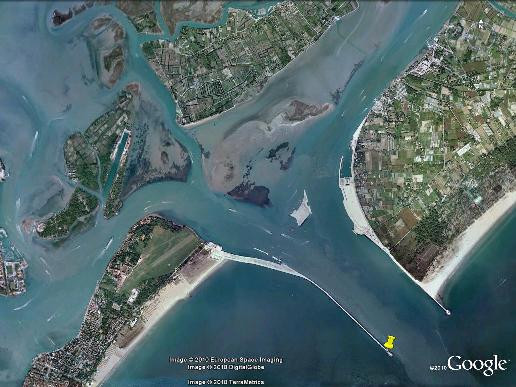
VENEZIA
Station summary


Links to data sources
Co-located instrumentsLDSTG
- GPS : Venezia (VENE)
- Tide gauge : VENEZIA II (VENTG)
- GPS : VENEZIA 1 (VEN1)
- Tide gauge : VENEZIA (PUNTA DELLA SALUTE) (PDSTG)
- Tide gauge : VENEZIA (S.STEFANO) (VENSS)
- Tide gauge : VENEZIA (ARSENALE) (VENAR)
- GPS : VENEZIA - Arsenale (VEAR)
- GPS : Venezia Nicelli (VENI)
- GPS : Venezia Punta Salute (PSAL)
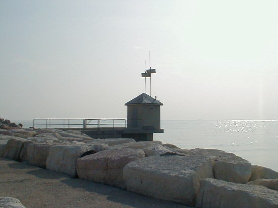
Photo albumLDSTG
BibliographyLDSTG
If you have a relevant reference to suggest, please send-us an e-mail : sonel@sonel.org-
 De-Biasio, Baldin et al., 2020. Revisiting Vertical Land Motion and Sea Level Trends in the Northeastern Adriatic Sea Using Satellite Altimetry and Tide Gauge Data. Journal of Marine Science and Engineering.


-
Vignudelli, De-Biasio, 2021. Coastal Sea Level Trends from a Joint Use of Satellite Radar Altimetry, GPS and Tide Gauges: Case Study of the Northern Adriatic Sea. Geodetic Sciences - Theory, Applications and Recent Developments.
-
Zerbini, Raicich et al., 2017. Sea-level change in the Northern Mediterranean Sea from long-period tide gauge time series. Earth-Science Reviews.


