
SAINT-MALO
Station summary


| Responsible organization: | link to REFMAR web page |
| Latitude : | 48.64110800 |
| Longitude : | -2.02747700 |
| Start date: | |
| End date: | |
| Country: | FRANCE |
| City: | SAINT-MALO |
| Station state: | VERT |
Mean sea level
Daily means
Monthly means
Annual means
Calculating the mean sea levels
Links to data sources

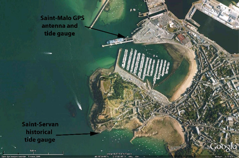
Co-located instrumentsSMALO
- GPS : Saint Malo (SMTG)
- GPS : Dinard Pleurtuit (DIPL)
- Tide gauge : Saint Servan (SSERV)
Leveling & DatumsSMALO
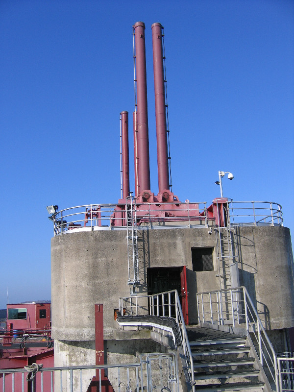
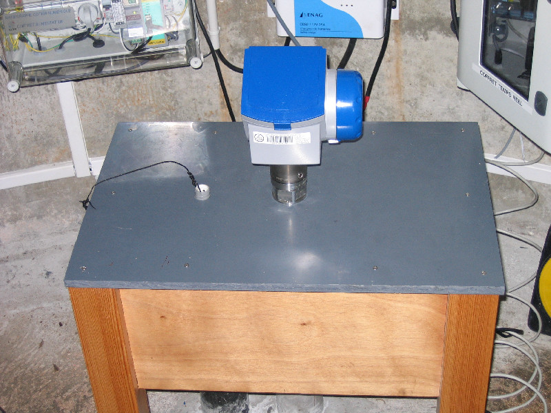
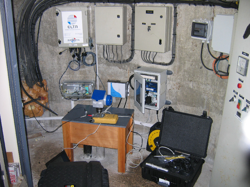
Photo albumSMALO
BibliographySMALO
If you have a relevant reference to suggest, please send-us an e-mail : sonel@sonel.org-
 Coulomb, 2014. Travaux réalisés en métropole en 2013 dans le cadre de la convention SONEL.
-
Dodet, Bertin et al., 2019. Characterization of Sea-level Variations Along the Metropolitan Coasts of France: Waves, Tides, Storm Surges and Long-term Changes.


Logbook
2021-09-13 (25/05/2022)
Intervention by the SHOM to change the acquisition central of the tide gauge. Before it was an Elta system, now it is a Campbell. Also, installation of the meteorological sensor and the cameraLe 16/02/2010 (08/04/2010)
Relance du MCN. Archivage des données.(Manque des données du 01/12/09 au 04/12/09 : installation du nouveau matériel période d'étalonnage).
Le 01/12/2009 (11/12/2009)
Changement de capteur. Mise en place d'un Optiwave.Le 26/11/2009 (11/12/2009)
Relance du MCN.Archivage des données à 10 min et HH.


