
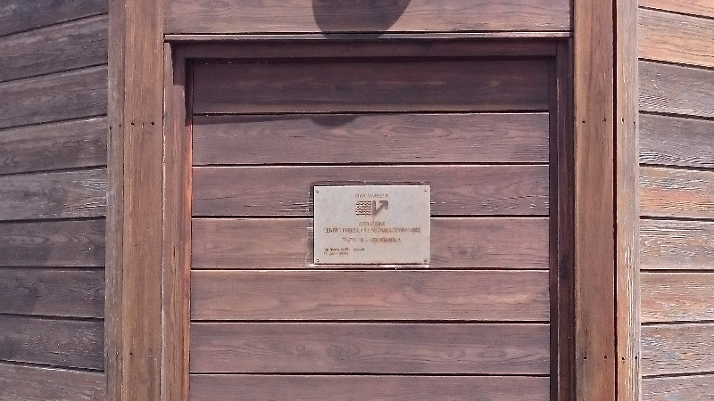
VENEZIA
Station summary


Links to data sources

Co-located instrumentsPDSTG
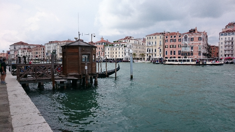
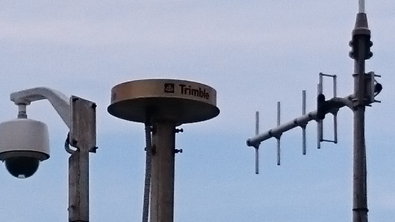
- GPS : Venezia (VENE)
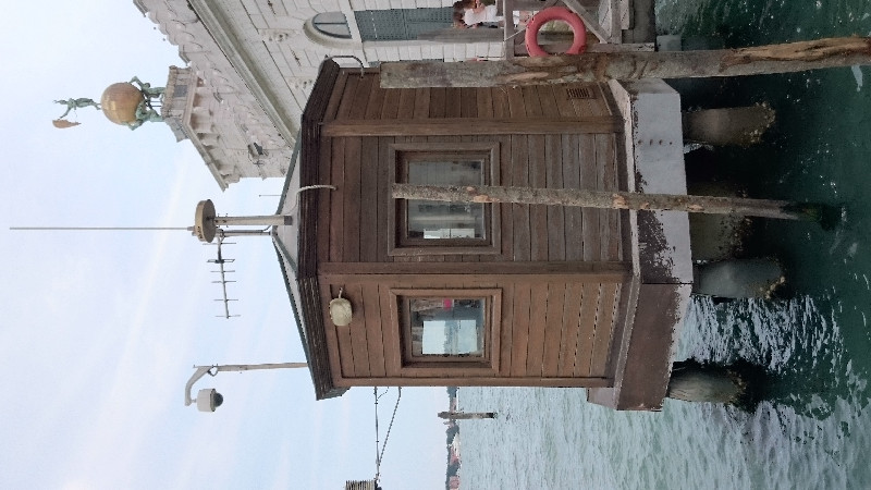
- Tide gauge : VENEZIA II (VENTG)
- GPS : VENEZIA 1 (VEN1)
- Tide gauge : VENEZIA (S.STEFANO) (VENSS)
- Tide gauge : VENEZIA (ARSENALE) (VENAR)
- GPS : VENEZIA - Arsenale (VEAR)
- GPS : Venezia Nicelli (VENI)
- GPS : Venezia Punta Salute (PSAL)
- Tide gauge : LIDO DIGA SUD (LDSTG)
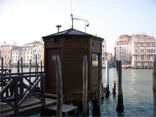
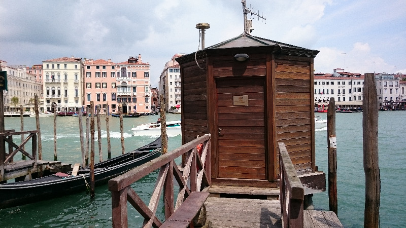
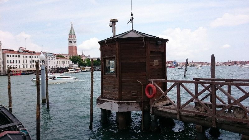
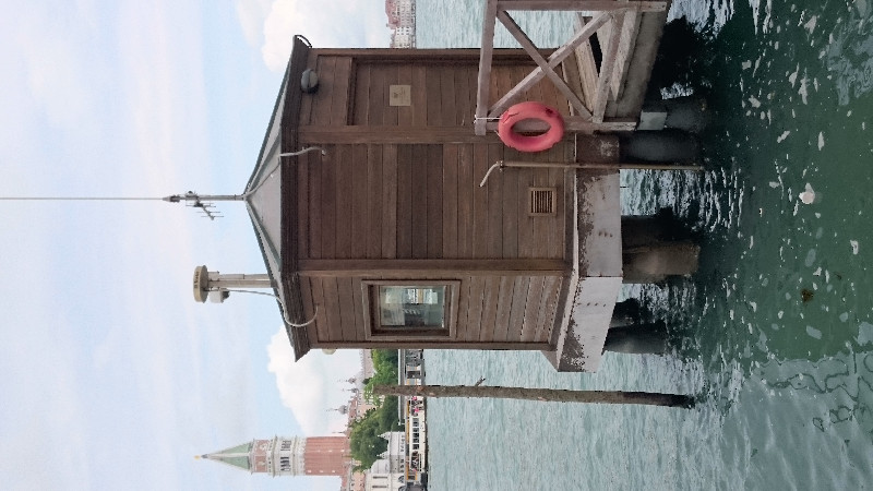
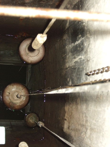
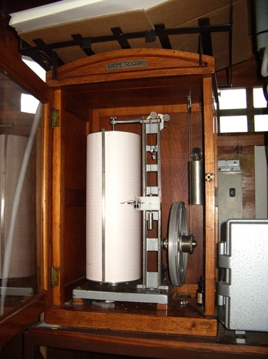
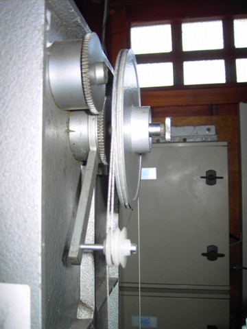
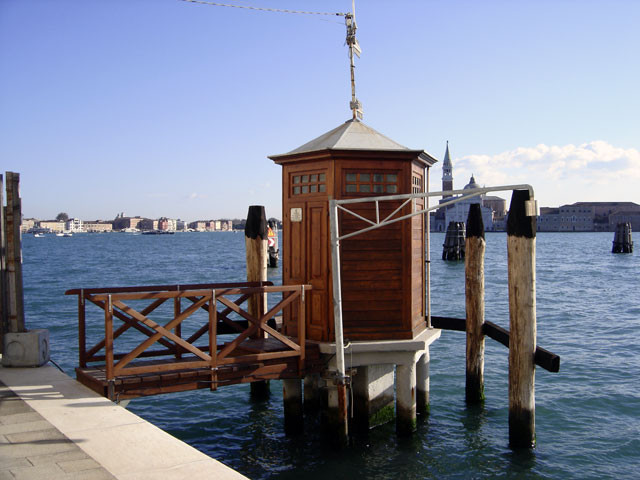
Photo albumPDSTG
BibliographyPDSTG
If you have a relevant reference to suggest, please send-us an e-mail : sonel@sonel.org-
 , Zerbini et al., 2006. Tide gauges and Geodesy: a secular synergy illustrated by three present-day case studies. C. R. Geoscience.

-
, Teatini et al., 2013. Natural versus anthropogenic subsidence of Venice. Scientific Reports.
-
, Da Lio et al., 2016. Combining L- and X-Band SAR Interferometry to Assess Ground Displacements in Heterogeneous Coastal Environments: The Po River Delta and Venice Lagoon, Italy. Remote Sensing.
-
, Carbognin et al., 2002. Evidence of the present relative land stability of Venice, Italy, from land, sea, and space observations. Geophysical Research Letters.
-
, Teatini et al., 2012. Integrating Geotechnical and Interferometric SAR Measurements for Secondary Compressibility Characterization of Coastal Soils. Surveys in Geophysics.
-
Carbognin, Teatini et al., 2009. Global change and relative sea level rise at Venice: what impact in term of flooding. Climate Dynamics.
-
De-Biasio, Baldin et al., 2020. Revisiting Vertical Land Motion and Sea Level Trends in the Northeastern Adriatic Sea Using Satellite Altimetry and Tide Gauge Data. Journal of Marine Science and Engineering.

-
Pajak, Kowalczyk et al., 2021. Studying the Sensitivity of Satellite Altimetry, Tide Gauge and GNSS Observations to Changes in Vertical Displacements. Geomatics and Environmental Engineering.
-
Vignudelli, De-Biasio, 2021. Coastal Sea Level Trends from a Joint Use of Satellite Radar Altimetry, GPS and Tide Gauges: Case Study of the Northern Adriatic Sea. Geodetic Sciences - Theory, Applications and Recent Developments.
-
Woppelmann, Marcos, 2012. Coastal sea level rise in southern Europe and the nonclimate contribution of vertical land motion. Journal of Geophysical Research.
-
Zerbini, Raicich et al., 2017. Sea-level change in the Northern Mediterranean Sea from long-period tide gauge time series. Earth-Science Reviews.


